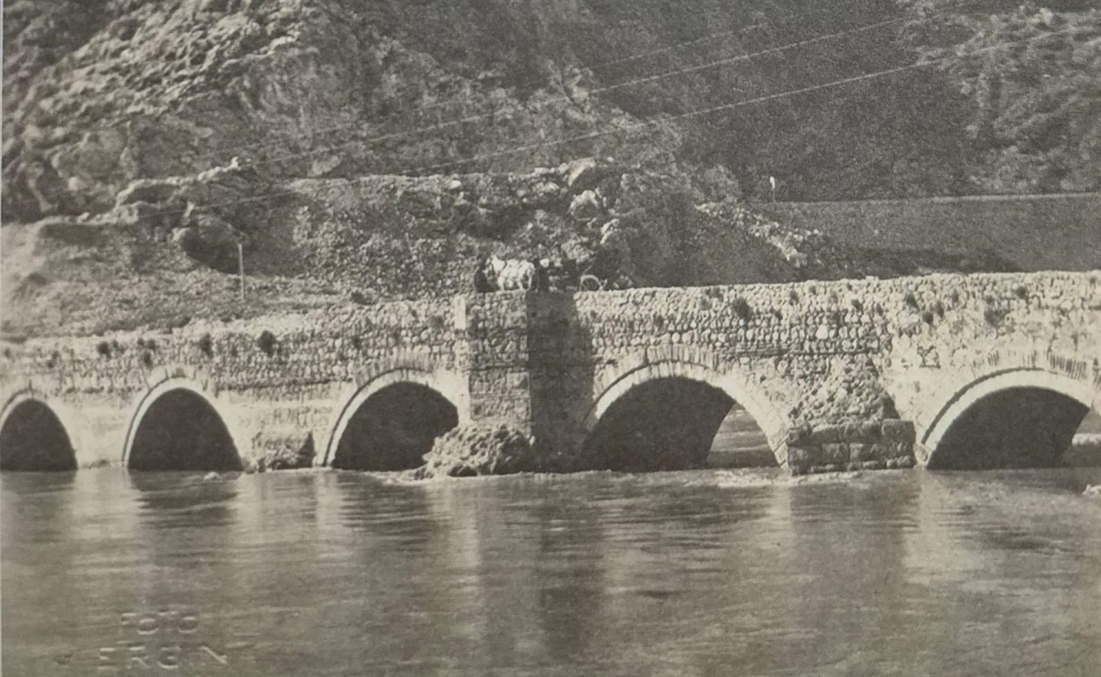
📜 What do the documents say?
The bridge stands about 5 km outside the centre of Amasya, on the Tokat highway at the Eryatağı junction. It lies south-west of the city, at the spot people call “Ferhat Arası” or “Güney Boğazı” (the Southern Gorge).1
The year it was built and who built it are not known for certain. The general view is that it was built at some time between 1075 and 1150 by İltekin Gazi, one of the Danishmendid emirs, or his son Hüsamüddevle Hasan.1
But one line of reasoning favours a particular estimate: according to some sources, this bridge was built to make it easier to move the troops used in the siege of Amasya. If so, it is reasonable to take İltekin Gazi as its builder and 1075 as its year.1 According to Abdizade Hüseyin Hüsameddin, however, the bridge was built in 1076 by the Danishmendid emir İltekin Gazi.2
- 70 mlength of the bridge1
- Stonepiers1
- Brickarches1
On the western sides of the piers there are triangular cutwaters — projections that break the force of the water and split the current in two.1 The use of dressed stone together with brick, and especially the use of red brick in the arches and piers, is taken as a sign that the building belongs to the Danishmendid period.1