Route
Water and Healing
Amasya is a river city. This route follows the water: the bridges built to cross it, the bathhouses that heated it and turned it into healing, the channel cut into the rock, and the hospital.
Stops
The photographs on the cards are the archive pictures on the stop pages; their credits are given there.
-
Stop 1
Altuntaş Bathhouse (Upper Bath)
17th century (probably) · —
Bathhouse (hamam) Click to open the page → -
Stop 2
Kumacık Bathhouse
1494–1495 · Ayas Ağa, Lesser Agha of the Gate (Küçük Kapı Ağası)
Bathhouse (hamam) Click to open the page → -
Stop 3
Mustafa Bey Bathhouse
1436 · Mustafa Bey (son of Yörgüç Paşa)
Bathhouse (hamam) Click to open the page → -
Stop 4
Yıldız Bathhouse (Çukur Bath)
Before 1409 · —
Bathhouse (hamam) Click to open the page → -
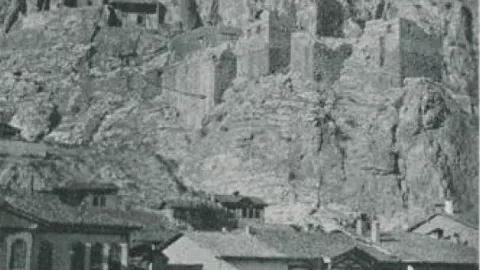 Stop 5
Alçak Bridge
Roman in origin; 1882 · —
Bridge Click to open the page → -
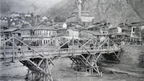 Stop 6
Helkıs Bridge (Government Bridge)
Roman in origin; 1940 · —
Bridge Click to open the page → -
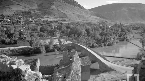 Stop 7
İstasyon (Meydan) Bridge
1145; 1368 · Mesud I; Şadgeldi Paşa
Bridge Click to open the page → -
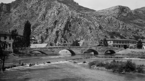 Stop 8
Kunç (Kuş) Bridge
Seljuk period · —
Bridge Click to open the page → -
Stop 9
Madenüs (Mağdinus) Bridge
Roman in origin; 2010 · —
Bridge Click to open the page → -
Stop 10
Darüşşifa (Bimarhane)
1308–1309 · Anber bin Abdullah
Other monument Click to open the page → -
 Stop 11
Ferhat Water Channel
Roman period (1st–2nd century AD) · —
Other monument Click to open the page →
Dates and coordinates
The dates here are a summary; where the sources disagree, this is shown openly on the stop pages. As for the coordinates: the location of all 11 stops has been verified from independent sources — OpenStreetMap, Kültür Envanteri or the monument's own record on the map; each stop's page says which. No provisional coordinates remain on this route.
Map data © OpenStreetMap contributors, ODbL licence.